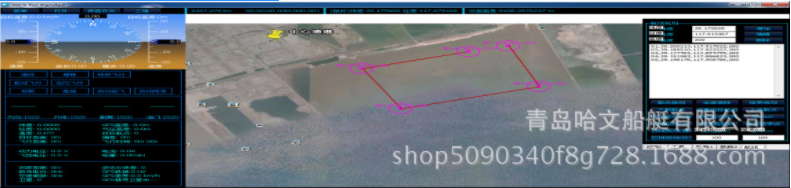
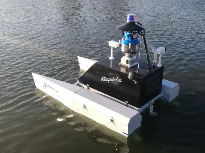
The boat adopts GPS satellite positioning and navigation, and integrates advanced robot control technology, automatic navigation technology and 4G network real-time communication technology, which can be used for emergency sampling and water quality monitoring, online real-time water quality inspection, water pollution accident fast pollution source tracking and other functions.
| Type | HV220 |
|
|
|
| Length | 2.2m |
| Load Capacity | 150kg |
| Width | 1.4m |
| Cruising ability | 10h under 1m/s speed |
| Height | 1.6m |
| Feed container | 120L |
| Draught | less than 0.3m |
| Remote Distance | 500m~10km |
| Standard Equipment: |
|
|
|
|
| 1, Water jet propulsion 2 sets |
|
| 5, Bird repeller 1 set |
|
| 2, Feed machine 1 set |
|
| 6, Water quality analyzer 1 set |
|
| 3, Webcam 2 sets |
|
| 7, Radio remote control 1 set |
|
| 4, Weather instrument 1 set |
|
| 8, Base station remote control system, 1 set |
|
Scope of application
The operation radius is 2km;
Maximum endurance: 5h;
Suitable for large reservoirs, lakes and wharves;
Large capacity multi-point automatic sampling (8 sampling bottles 500ml);
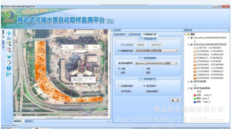
Unmanned boat will work automatically according to the set route, monitoring point and sampling point. The ground control base station uses software to record and store the monitoring coordinates and data in real time, draw monitoring and sampling reports, and automatically generate the distribution diagram of water quality parameters.
Monitoring data report

Distribution diagram of water quality parameters

Rapid response to pollution emergencies
On the satellite map to achieve - fixed-point detection;
Two minutes to formulate sampling route and scheme;
The sampling route and scheme can be changed at any time;
Go deep into the forbidden zone to get data and water samples;
Long distance real-time video monitoring and call warning;